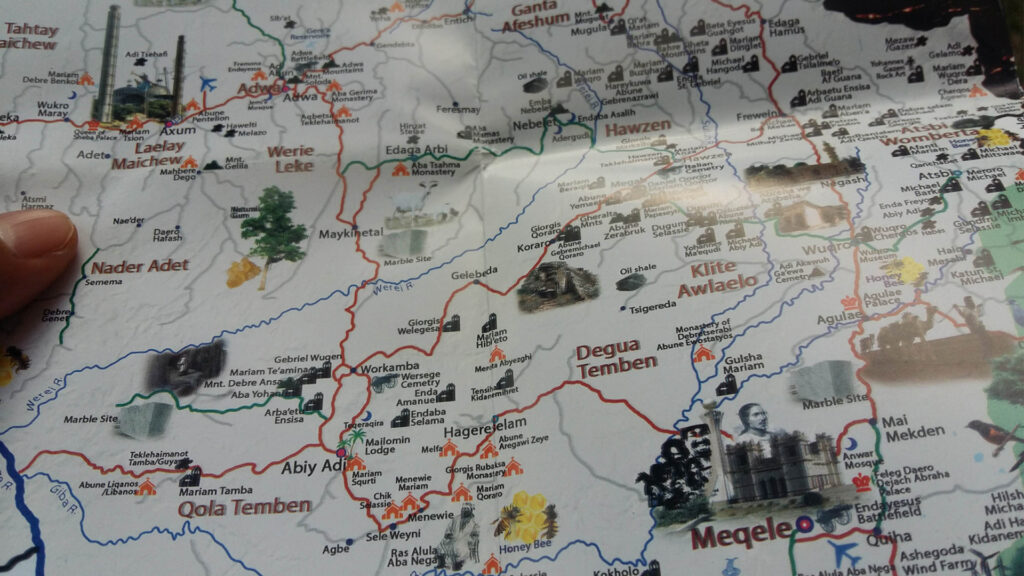
High quality & colorful, pictorially represented and briefly described Simplified Tourist Map of Tigrai, in two languages: English on one side and Tigrigna on the other side.
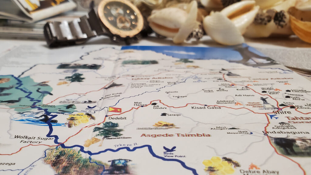
This product contains one map in two languages. One side of the map shows Simplified Tourist Map in Tigrigna and the other size in English. All major tourist destinations, tourist attractions, historic, cultural, and religious places are included with distances from Mekelle and Addis Ababa. Major agricultural, pastoral, mining, and potential energy sites are indicated. World Heritage sites, airports, peak & low points labeled. Major roads lined, national parks, wildlife reserves, forest reserves, endemic animals & plants, etc all represented and briefly described. The regional capital, major cities, spring waters, lakes, and rivers are also included.
Printed on A2 size, glossy paper of 100 grams with full color, the main objective of the map is to promote Tigrai and Ethiopia tourist attractions and destinations. Moreover, the maps contain valuable information such as investment areas, precious mineral stone sites, future oil sites, agricultural fields, animals, etc.
The map is intended to guide tourists throughout Tigrai, used as a teaching-learning material for classroom instructions, home-based general knowledge, personal references, for kids and grownups, framed wall posts, gifts, etc… Handy, neat, and clearly readable.
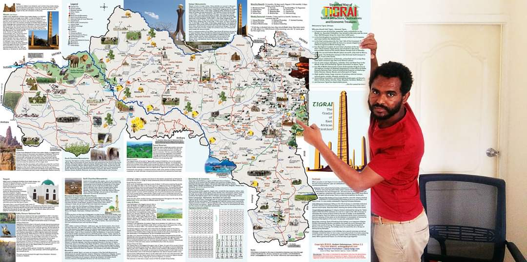
In summary, the Simplified Tourist Map of Tigrai contains:
- General information about ‘Why Visit Tigrai?’
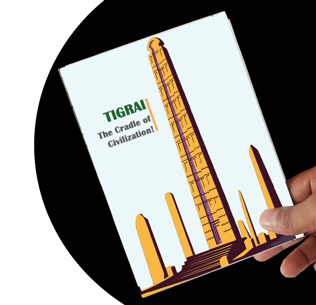
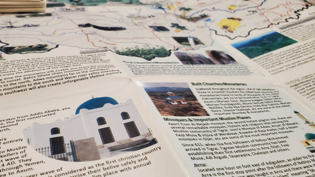
- Remains of early civilizations at D’MAT, Axum, Meqbir Gaeqa, etc
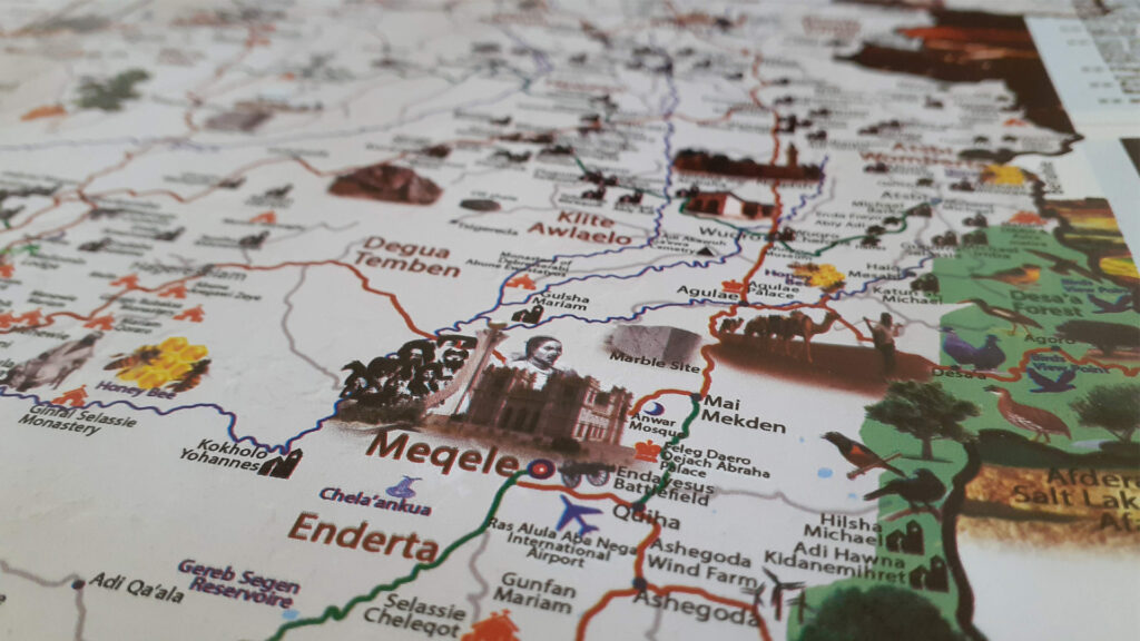
- Popular attractions and destinations (Yeha, Aum, Gheralta, Wukro, Mekelle, etc)
- Religious sites (Pre-Christian sites, Monasteries, mosques)
- The final resting place for the ‘Lost’ Ark of the Covenant.
- Events, Festivals and Celebrations.
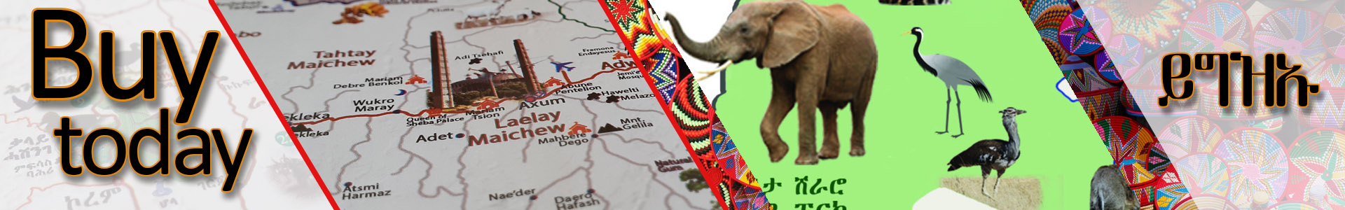
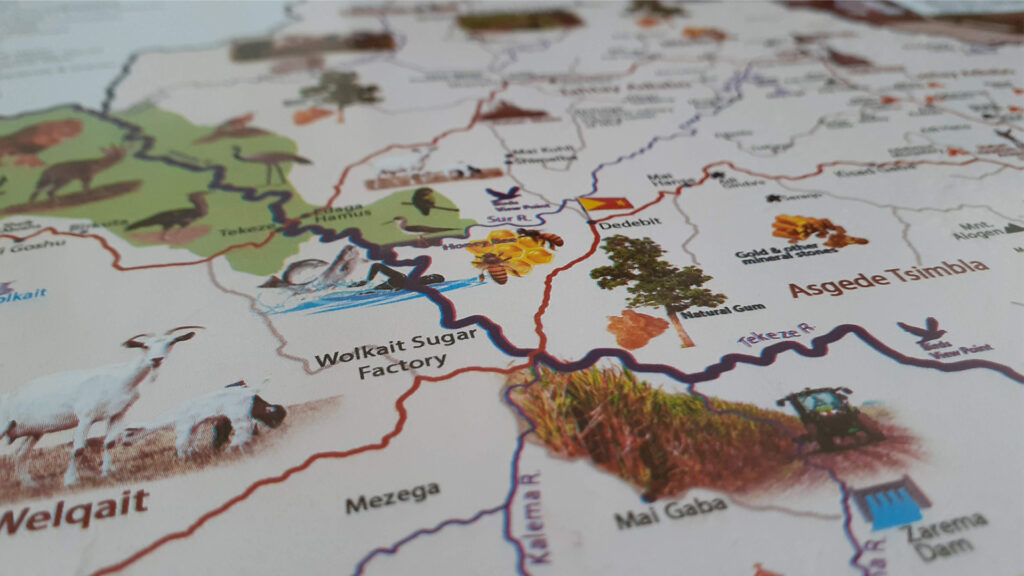
- National Parks, Forest Reserves and wildlife reserves
- Mountains and landscapes (Emba Alaje, Emba Aradom, Emba Nebelet, Chains of Gheralta Mountains, Adwa Mountains, Wolqait, etc)
- Rivers, lakes, waterfalls and hot sprigs
- Battlefields, cemeteries, tombs, and statues
- Less promoted areas and events like Bedena Leko Birdwatching, Bala Forest, Camel caravan, Baeti Gaewa rock painting, Mulu Ancient Palace, etc)
- Famous people (Emperor Yohannes IV, Ras Alula, etc)
- How to get there (Transportation mode, incoming and outgoing routes, road conditions, etc)
- Regional Capital city, Zonal capital cities and other cities
- Investment/treasure areas (gold, oil, cotton, ranch, lentils, coffee, natural gum etc)
- Distances between places, from Addis Ababa and Mekelle.
- Etc
The maps are available in Mekelle, Addis Ababa, Nairobi, The US, and different parts of the world. There is a BIG DISCOUNT for distributors and those who buy in large quantities. The maps are is available in many souvenir shops, hotels, taxi cabs, ticket offices, tourist information centers, business centers and can also be delivered on request.
Pick your copy of the map today and reward yourself and your beloved ones. You’ll find all the region’s precious treasures at your hand.
Inauguration Ceremony
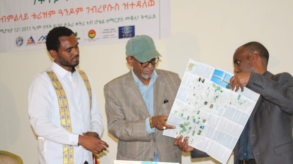
Tourist Map of Tigrai – Inauguration Ceremony
The inauguration ceremony took place on the 20th of April 2019 at Mekelle, Tigrai, in the presence of higher officials, respected guests, and media.
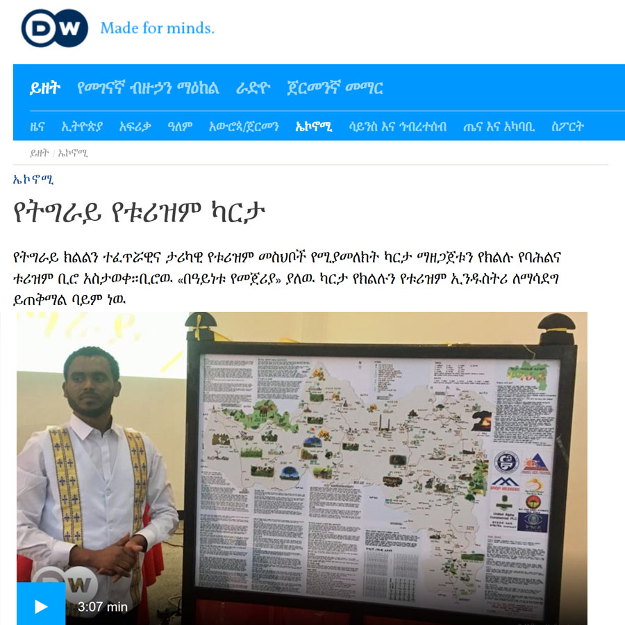
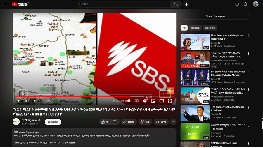
Media Coverage
The map has got a wide coverage among media local and international media. Some of which are:

Discover Tigrai in your hands!
For any inquiries, We can be reached at info@hadgi.org or Whatsapp.